Drones for crop scouting: what farmers should use them for
A drone is useful when it answers a specific question faster than walking the field. Here is what scouting drones do well, what they cannot tell you, and the UK and US rules that apply before you fly or spray.
The editorial team that prepares and reviews FarmFleetSpecs reports and guides.
Start with the question, not the drone
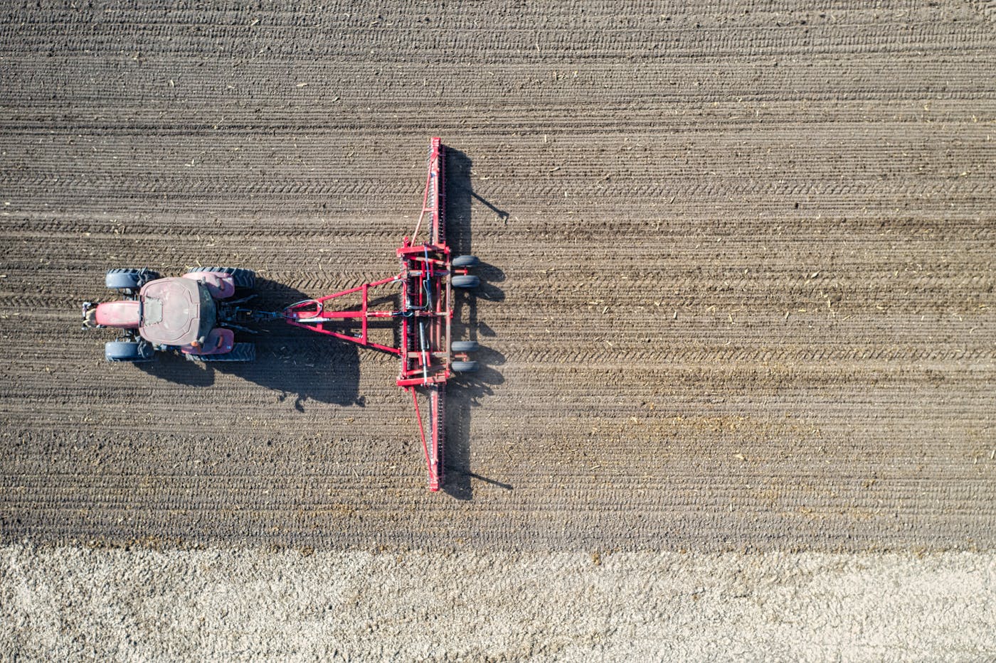
The farms that get value from drones are the ones that fly with a purpose. 'Let us see what the field looks like' tends to produce attractive pictures and few decisions. 'Where are the gaps in this oilseed rape establishment, and are they big enough to redrill?' produces a map someone can act on the same day.
Useful scouting questions share three features: the answer changes a decision (redrill, spray a patch, fix a drain, claim insurance), the problem is visible from above, and the field is big enough or awkward enough that walking it fully takes too long. If a question fails any of those tests, a walk with a spade may be quicker and cheaper.
Jobs drones do well
Standard RGB (colour) cameras on affordable drones cover most everyday scouting. Multispectral sensors add bands such as near-infrared that feed vegetation indices like NDVI, which highlight differences in crop vigour. They are more expensive, need calibration and processing software, and only earn their keep if someone on the farm or your agronomist will interpret the maps and act on them.
- Establishment checks: gaps, uneven emergence and poor headlands after drilling.
- Drainage and waterlogging: standing water and wet patches that point to blocked drains or compaction.
- Lodging and storm damage: mapping the affected area for harvest planning or an insurance claim.
- Weed patches: large patches of black-grass or other weeds visible above the crop in summer, for mapping and future targeting.
- Livestock and boundaries: checking stock, fences and water troughs on large or hilly grazing.
- Irrigation problems: blocked nozzles or uneven coverage showing as stressed strips.
What a drone cannot tell you
An aerial image shows that one part of a field looks different from another. It does not tell you why. Pale patches could be nitrogen shortage, waterlogging, compaction, disease, pest damage or a drill fault. A vegetation index map is a guide to where to look, not a diagnosis. Always ground-truth: walk to the marked areas, dig, look at roots and leaves, and compare with a healthy area.
Timing also matters. Images taken under changing cloud, at low sun angles or at different growth stages are hard to compare. If you want to track change over time, fly at a similar time of day, at the same height and with the same settings each time.
UK rules before you fly
The Civil Aviation Authority's registration rules depend on the drone's weight and class mark. For a drone from 250 g up to 25 kg, including UK1 to UK4 class drones, you need both a Flyer ID (from passing the CAA's online test) and an Operator ID. A drone from 100 g to under 250 g needs a Flyer ID, and also an Operator ID if it has a camera, which every scouting drone does. New drone models placed on the UK market from 1 January 2026 carry a UK class mark, which tells you which Open sub-category you can fly in.
Routine scouting flights over your own land usually fit within the Open category, which is limited to 120 m above the surface and keeping the drone in direct sight. Anything beyond that, such as flying beyond visual line of sight or carrying a heavy payload, moves into the Specific category and needs an operational authorisation from the CAA. Read the current Drone and Model Aircraft Code before your first flight, as the rules were updated for 2026.
Spraying by drone is a different matter
Spray drones are marketed heavily, so it is worth being precise about the UK position. HSE states that applying pesticides by drone is currently treated as aerial spraying, which is prohibited unless authorised. An Aerial Spraying Permit is required every time you intend to apply a pesticide from the air, including all applications by drone. The operator also needs CAA authorisation, and HSE accepts PA1 plus PA6 (or equivalent) certificates as proof of competence. As of HSE's page updated in July 2026, there are no commercial authorisations, on-label or for minor use, allowing any pesticide to be applied by drone in the UK; only limited trials permits exist.
In the US, commercial drone flights come under FAA Part 107, which requires a Remote Pilot Certificate (gained by passing the knowledge test) and drone registration. Dispensing chemicals or agricultural products from a drone also falls under Part 137, which requires an Agricultural Aircraft Operator Certificate, and for heavier spray drones an exemption, on top of state pesticide applicator licensing. Check the product label too: it must permit aerial application.
Choosing kit: questions to ask
For most farms, a mid-range camera drone with mapping software is the right starting point. Upgrade only when you have a clear use for the extra data.
- Flight time per battery, and how many batteries you need to cover your largest field in one session.
- Does the mapping software stitch images into a single georeferenced map, and can it export in formats your farm software or agronomist can open?
- Is RTK positioning needed? It matters for repeat surveys and measuring small changes; it is rarely needed for spotting problems.
- Where is image processing done, what does the subscription cost each year, and who owns the data?
- What class mark does the drone carry, and which Open sub-category does that allow?
- What is the repair and battery replacement arrangement in the UK or US?
Making the maps useful
A map that sits on a laptop changes nothing. Agree in advance who looks at the output, within what time, and what action follows. Mark problem zones on your farm software so they can become variable-rate or spot-treatment plans, or simply a list of places to walk. Our guides to precision spraying and weed control and farm data ownership cover the next steps, including where your imagery ends up once it is uploaded to a cloud platform.
Sources
Sources checked 2026-09-25
- UK Civil Aviation Authority: Registering to fly drones and model aircraft — checked 2026-09-25
- HSE: Aerial spraying permit arrangements (pesticides) — checked 2026-09-25
- FAA: Certificated remote pilots including commercial operators (Part 107) — checked 2026-09-25
- FAA: Dispensing chemicals and agricultural products (Part 137) with UAS — checked 2026-09-25
Corrections and feedback
See our Corrections Policy, contact the team, or Report incorrect information.
Compare machines before you buy.
Use FarmFleetSpecs to check specs, photos, source confidence and recorded recall notices for tractors, combines and other farm equipment.